Service 01

Deer & Game Recovery

Lost a downed deer in heavy cover, at dusk, or across a creek you can't cross on foot? A thermal drone can scan the area in minutes and pinpoint a heat signature the naked eye and a flashlight can't.

$250 per call-out

+ $100 bonus if the deer is found

  • Works through darkness, brush, and moderate cover
  • You get GPS coordinates or a guided walk-in to the location

When it won't work: thick fog, heavy rain, or dense tree canopy can block thermal detection, and a carcass cools to ambient temperature over time, making it harder to distinguish from the surrounding terrain. We'll tell you honestly if conditions aren't in your favor before you pay for a flight.
Request a Search
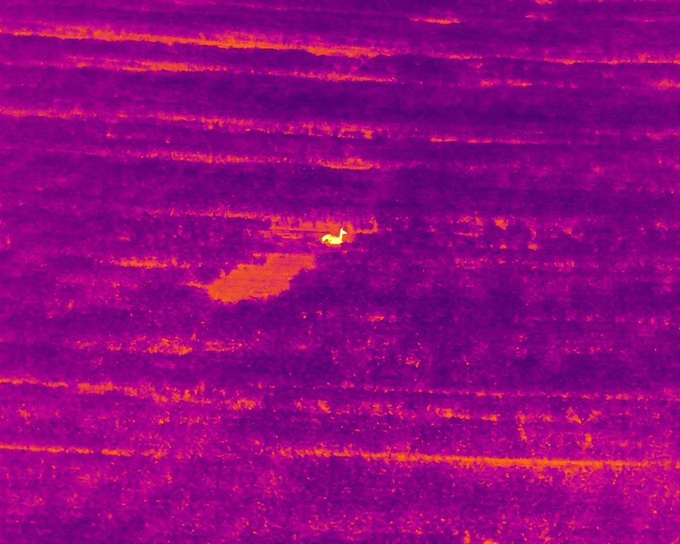
[ THERMAL IMAGE PLACEHOLDER ]
Deer/game thermal capture
Service 03

Livestock Location

Find strays, check on herds in remote or hard-to-access pasture, or get a fast head count without saddling up or driving fence lines.

$150 per flight

+ $100 bonus if the animal is found

  • Herd counts and stray location across large or hard-to-reach pasture
  • Faster than a ride-out or ATV sweep, especially in poor weather
  • Recurring/standing-service pricing available for regular checks
  • Useful after storms, fence breaks, or predator activity

Good to know: effectiveness depends on pasture size and terrain - very large or heavily wooded properties may need multiple flights, which we'll quote upfront.

Request a Search
[ AERIAL IMAGE PLACEHOLDER ]
Livestock / pasture aerial view
Service 04

Aerial Add-On Services

Same equipment, other uses - property mapping, roof and infrastructure inspection, and aerial photo/video for real estate or land listings.

$300 starting at, per project
  • Property & land mapping
  • Roof and infrastructure visual inspection
  • Real estate and land-listing aerial photo/video
Get a Quote
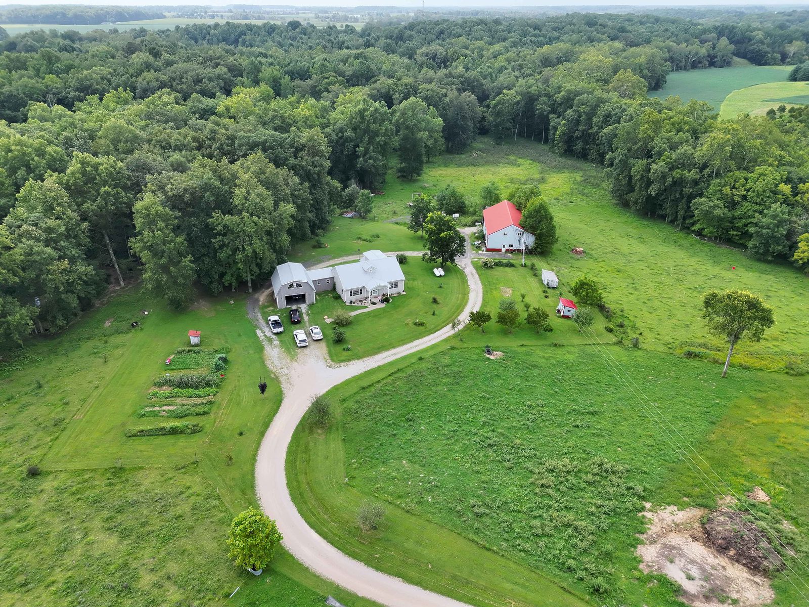
[ AERIAL IMAGE PLACEHOLDER ]
Property / roof aerial view

Not sure which service fits?

Call and describe the situation - we'll tell you honestly if we can help.

Call (812) 373-6183


📞 Call Now